Our Transportation Plan
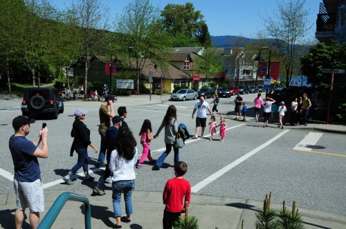
Our Transportation Plan is designed to make the District an even better place to live, by providing many options for walking, cycling, transit, and safe driving.
The plan addresses our Official Community Plan goals of reducing greenhouse gas emissions, improving public health, taking advantage of partner funding for improving infrastructure, and developing more options for how people of all ages and abilities get around in our community.
Read the plan in detail
Details
Responding to your priorities
The plan is based on the input from residents during our 2012 transportation planning priorities survey.
In that survey, residents told us their priorities were:
- an efficient, reliable, and frequent transit system
- safer routes for children to walk to school
- maintaining neighbourhood livability during road improvement projects
- making changes that reduce road collisions and improve traffic safety
Objectives of the plan
This plan will help support our Official Community Plan transportation target of increasing trips made by walking, cycling, and transit from 21 percent in 2011 to over 35 percent in 2030.
To achieve this vision of a sustainable and safe transportation network — while respecting residents’ priorities — the plan focuses on:
Walking
Ensure safe and comfortable opportunities to walk are provided for pedestrians throughout the community
Cycling
Provide a more complete cycling network that is safe and efficient for all ages and abilities
Transit
Support an enhanced and more integrated transit system across the community.
Driving
Use a range of solutions to make the road network as safe as possible, integrate sustainable modes of transportation into the road system, and manage road infrastructure to minimize impacts on neighbourhoods
Sustainability
Use strategic and practical measures to present walking, cycling, and transit as preferred options to driving for moving around the District.
How we’re funding the plan
The Transportation Plan is being implemented over 20 years. With funding from partners, the Plan fits within our financial capabilities.
Related documents
Download the complete District of North Vancouver Transportation Plan
Recent transportation studies
Inter-River Sub-Area Transportation Study (August, 2016)
Related plans and studies
The plan is developed in conjunction with the Official Community Plan.
Learn more about the Official Community Plan (OCP)
A number of other studies and plans completed over the past several years helped to inform the Transportation Plan, including:
Background
The growing need for a Transportation Plan
Because of natural boundaries surrounding the District — mountains to the north, Burrard Inlet to the south, and Capilano River to the west — future growth can only happen through infill development.
Enhanced environmental regulations, like the urban containment boundary included in Metro Vancouver’s Regional Growth Strategy (2011), further limit development in our undeveloped areas.
Other factors that impact our existing transportation network include:
- Connections to the rest of Metro Vancouver are limited by two bridges
- East-west traffic is limited to a few major roadways
Our new Transportation Plan updates and replaces our previous plan, the Transportation Network Study, which was released in 1990. That plan is not aligned with our Official Community Plan, and does not reflect current travel behaviour, economic and environmental realities, or residents' priorities.
Roadmap to a sustainable future
Through our Official Community Plan (OCP) policies, we are fulfilling our community's vision of vibrant, sustainable neighbourhoods where everyone is welcomed and valued.
Our many social, environmental, and economic plans are helping us implement those policies.