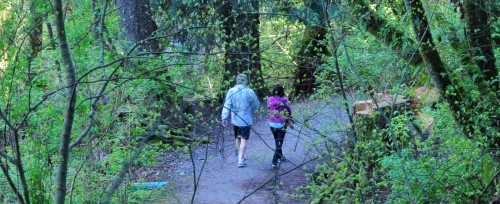
Safe routes to school
Working with North Vancouver School District (NVSD) 44, we collaborated on two studies designed to improve walking and cycling routes to various District schools, and improve safety near schools.
The studies included proposed infrastructure improvements, and maps of safe routes to each of the schools being studied.
Get the safe walking route maps
These maps were prepared as part of our larger studies.
- Blueridge Elementary map
- Boundary Elementary map
- Braemar Elementary map
- Brooksbank Elementary map
- Canyon Heights Elementary map
- Capilano Elementary map
- Carisbrooke Elementary map
- Cleveland Elementary map
- Cove Cliff Elementary map
- Dorthy Lynas Elementary map
- Eastview Elementary map
- Highlands Elementary map
- Lynnmour Elementary map
- Lynn Valley Elementary map
- Montroyal Elementary map
- Norgate Elementary map
- Ross Road Elementary map
- Seymour Heights Elementary map
- Sherwood Elementary map
- Upper Lynn Elementary map
Review the safety studies
- École Boundary Elementary School Travel Plan (2019)
- Braemar, Cleveland, and Ross Road Elementary Schools Transportation and Safety Review (2011)
- Canyon Heights Elementary School Transportation and Safety Study (2016)
- Capilano Elementary School Transportation and Safety Study (2016)
- Highlands Elementary School Transportation and Safety Study (2016)
- Seymour Heights, Lynn Valley, and Upper Lynn Elementary Schools Safety Review Study (2010)
School travel survey
In the fall of 2013, we asked families from the North Vancouver School District elementary schools to fill out an online school travel survey. This survey was a joint initiative between the School District, the City of North Vancouver, and the District of North Vancouver.